


Sample alert
Orbitio · Parcel Watch
Something changed on your parcel
Manavgat, Antalya · example 300 × 300 m parcel

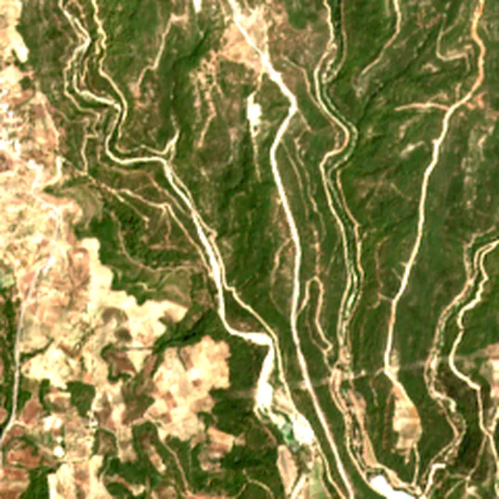
Contains modified Copernicus Sentinel data 2021 · 2,4 × 2,4 km
- Vegetation index (NDVI)
- 0.58 → 0.22
- Share of the parcel that changed
- 91%
- Likely cause
- Fire (Manavgat wildfire, July–August 2021)
Real satellite data, real event. The parcel outline is drawn for illustration; it is not a customer's land.